Soil inspection , L'Aquila
- Drone Class B - DJI Mavic, Phantom o simili
- Model DJI Phantom 4
- Location Provincia di L'Aquila
- Flight time 1 hour
- Post-production 48 hour
Customer
FarmProblem
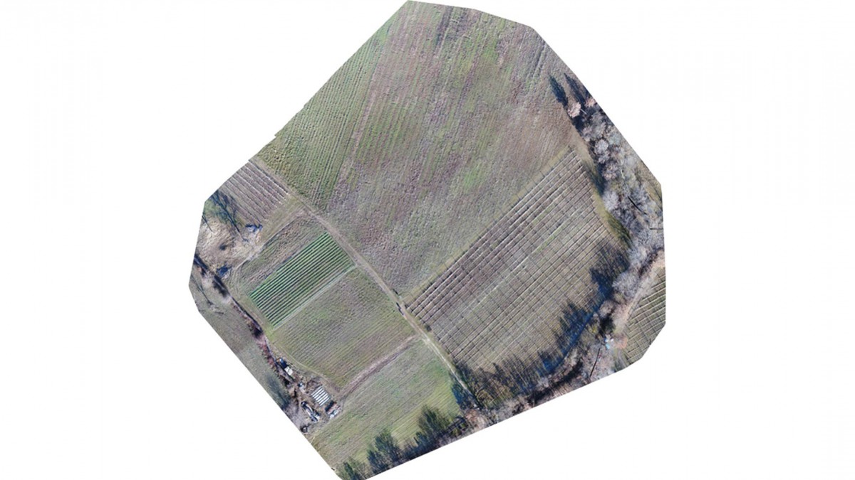
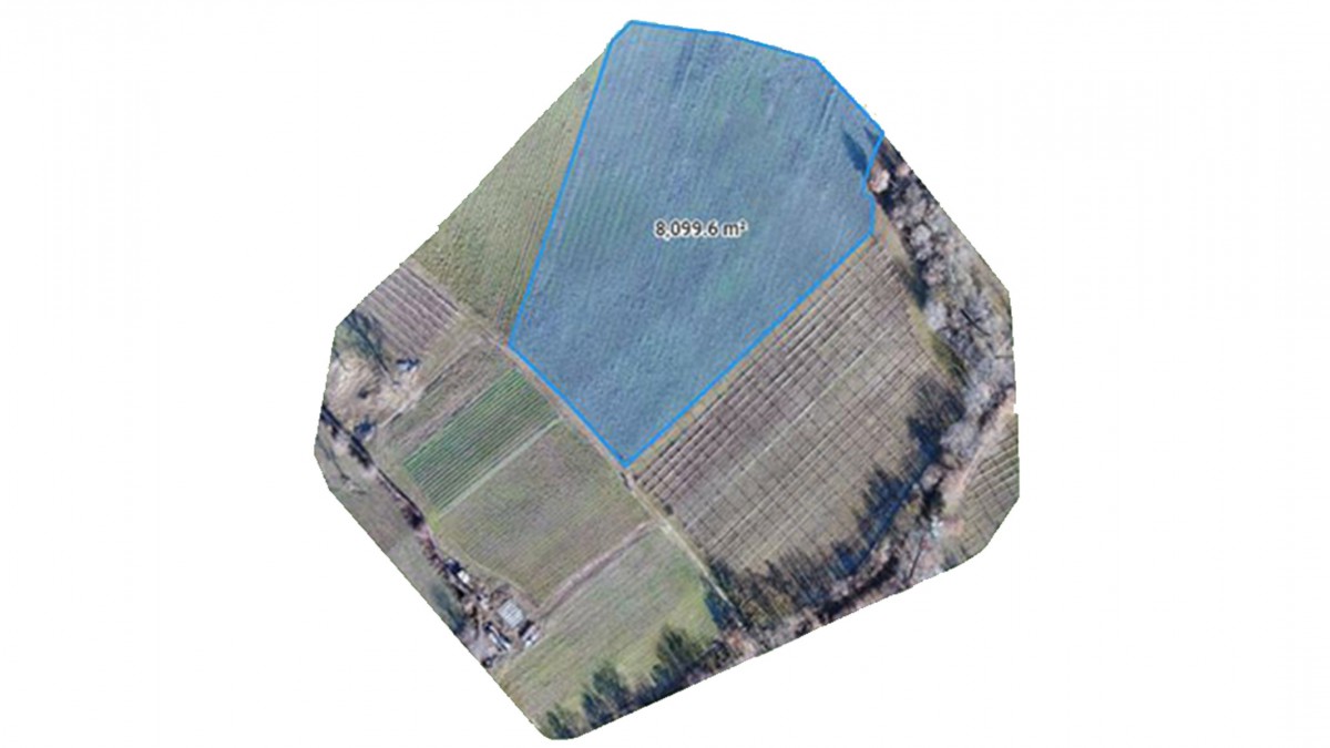
A farmland has a damage caused by wild animal. The customer needed to quantify the damage and provide the lawyer a product of support at application of compensation. To determine the damage we have proposed to the customer to produce an orthophoto (geometrically correct aerial image) of the area concerned. The orthophoto, indeed, serves to measure distance, perimeters and areas.Drone solution
Through the use of a drone, they were taken hundred photos necessary for creating the orthophoto of the soil. The photogrammetric techniques allowed to realize a geometrically correct orthophoto of the area. The orthophoto has allowed to identify the damaged area and to measure its extension. The damaged area corresponded to about 8100 m2. Through this information the lawyers were able to accurately quantify the damage in economic terms and prepare the application for compensation.